Archaeological Prospection
Archaeological Prospection Is a term used to achieve non-destructive identification of features and relics buried at archaeological sites.
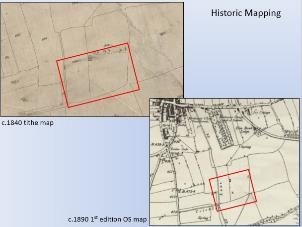
Historical Mapping
This is the use of maps to identify unusual or interesting features and historical events that illustrate social developments of the past within their geographical context.
Using Maps to Identify Features of Archaeological Interest
Aerial Photographs and Satellite Imagery
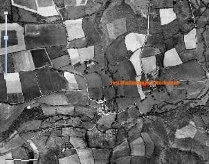
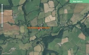
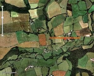
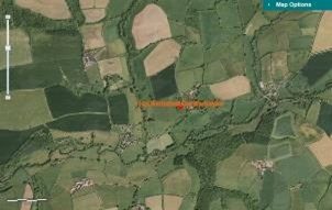
Field shapes and their arrangements provide one source of evidence about their origins and uses.
|
1946/49
2006
|
2000
2015
|
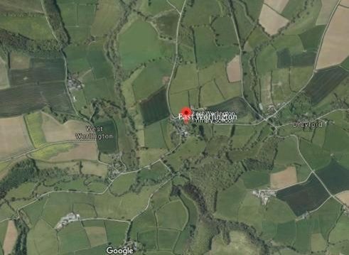
These are Aerial Photographs of East Worlington in Different Years Showing Field Shapes
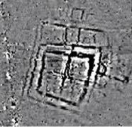
LiDAR.
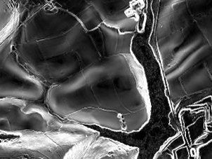
LiDAR technology uses light sensors to measure the distance between the sensor and the target object. From an aircraft this includes objects such as the ground, buildings and vegetation. For ground-based LiDAR it measures building fronts and street furniture in extreme detail. With the latest technologies it is also possible to obtain colour values of the scanned surface to create an automatically textured model. LiDAR is ideal when very high accuracy measurements are required and is very cost effective for the amount of data generated. http://www.lidar-uk.com/
An Example of a LiDAR Image
Crop Marks
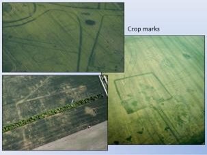
Crop Marks are a means through which sub-surface archaeological, natural and recent features may be visible from the air or a vantage point on higher ground or a temporary platform. Crop marks appear due to the principle of differential growth. One of the factors controlling the growth of vegetation is the condition of the soil. A buried stone wall, for example, will affect crop growth above it, as its presence channels water away from its area and occupies the space of the more fertile soil. Conversely, a buried ditch, with a fill containing more organic matter than the natural earth, provides much more conducive conditions and water will naturally collect there, nourishing the plants growing above.
Examples of Crop Marks in Fields
Field Boundaries
Field Boundaries can provide evidence of the field’s origin and possible uses.
- Highly irregular field boundaries do not indicate much but may be associated with woodland or common ground.
- If field boundaries are roughly parallel and gently-curving they are like to have derived from medieval open strip fields (Devon)
- If field boundaries are generally straight and the fields large and regular, they are probably 1500 – 1800 Barton fields, semi-enclosed by agreement and often associated with Barton farms.
- If field boundaries are straight and regular and the fields rectilinear, they are probably late C18th or C19th enclosures. These are often associated with ‘waste’ ground (lowland moors and upland grazing)
Photograph Shows Field Boundaries Around East Worlington
Geophysical Surveys
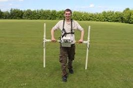
While we are not aware that any geophysical surveys have been conducted at East Worlington it is clearly a methodology that provides a perspective of our heritage.
Field Walking
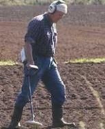
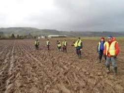
Another method at our disposal as amateur archaeologists is field walking. This can be undertaken with a metal detector, on sites where finds have been discovered and/or in new ploughed fields when other archaeological methods have indicated evidence of possible artefacts.
Excavations / Archaeological Digs
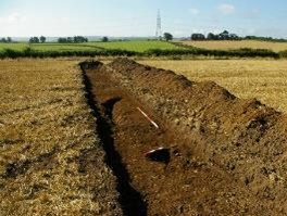
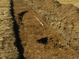
When there is evidence of possible previous human activity using methods that survey the surface there may be a decision by the archaeologist for further exploration by digging into the ground. This exploration can produce finds / artefacts and shape / outlines of features associated human activity which might confirm previous hypothesise or uncover a whole new theory of previous existence.
Artefact and Finds
Artefacts are object made by a human being, typically one of cultural or historical interest. They are an essential part of recording our heritage. Every year many thousands of archaeological objects are discovered, many of these by metal detector users, but also by people whilst out walking, gardening or going about their daily work. Often these are kept by individuals or individual organisations which means the wealth of information are not widely accessible. This issue has partly been resolved by the establishments of the Portable Antiquities Scheme.
Portable Antiquities Scheme
The Portable Antiquities Scheme is run by the British Museum and Amgueddfa Cymru – National Museum Wales to encourage the recording of archaeological objects found by members of the public in England and Wales. Finds recorded with the Scheme help advance knowledge of the history and archaeology of England and Wales. More information at https://finds.org.uk/
Parish Hall Finds
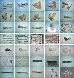
During the work on conserving the main hall between 2014 and 2016 a number of finds were discovered as shown in the photograph. These are mainly animal bones, broken glass, broken plate and metal spikes. All probably 20th Century and dating from the time the wooden suspended floor was installed in the conversion of the barn to the Parish Hall. For more information visit the Hall Floor Investigation page.
