EWPH Home
  • Home
  • Local History
  • About Us
  • Event Calendar
  • Contact the History Group
Worlington Properties Through Time

Worlington Properties Through Time

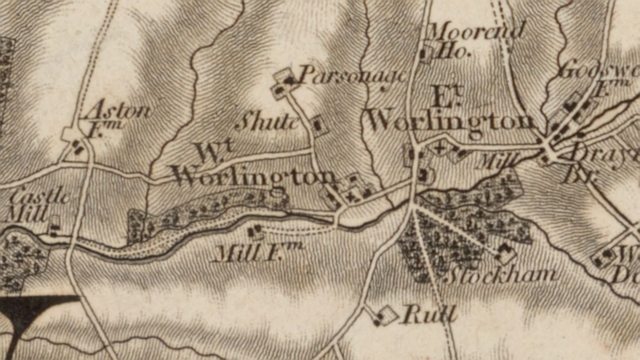
Find out who lived in your property from the entries in the census records from 1841 to 1921 and the 1939 World War II Register

 Worlington Property Map

The Property Database map shows each property in East Worlington Parish identified by a flag.  To find out who lived in specific properties when a census was taken click on an icon on the map.

People and their Occupations

The occupation of every person listed in the 1939 Register and census records. The occupations have been categorised into broad sectors such as Agriculture and general catagories such as Farmer suitable for search queries.

Gallery of Property Paintings

Some of the properties in the parish are the subject of paintings by local residents and their families and these are shown in our picture gallery. 

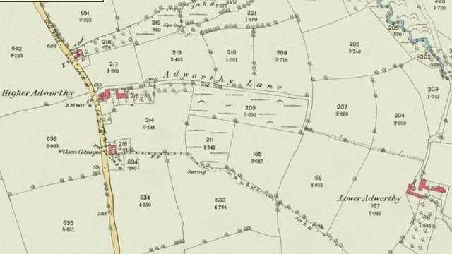
Property Name Identification Problems

Some details of how we analysed the 1939 Register and census record to create the list of properties and occupants over the years. Here are our thoughts and reasoning behind mapping historical names to current properties.


History Group Confidentiality Statement

Copyright © 2025 · East Worlington Parish Hall · Registered Charity 267969 · Log in