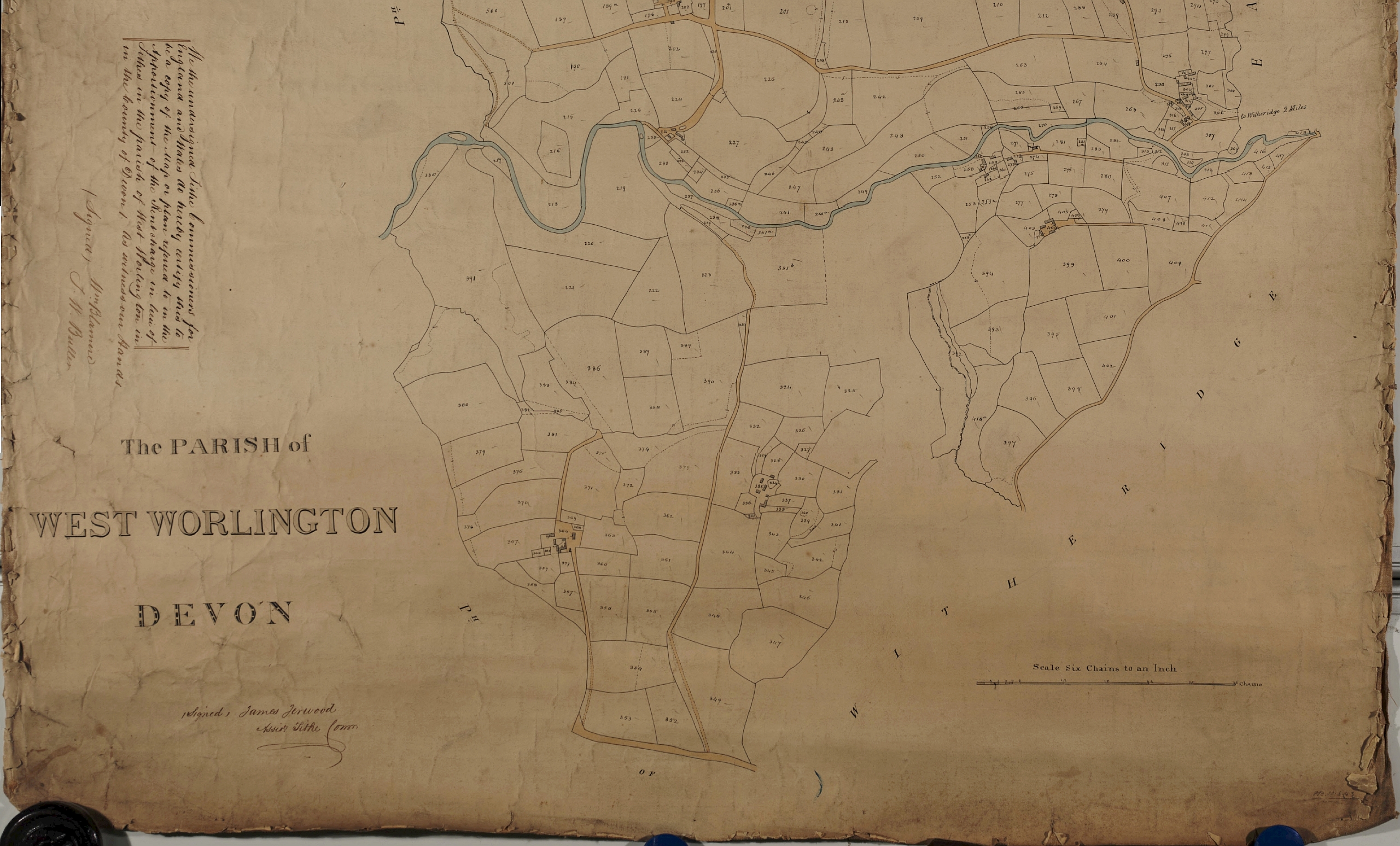
Below is part of an original, pen and ink drawn tithe map of West Worlington. The map is dated 1841 and the original scan apportionment information can be viewed on the Devon County Council Tithe Maps page.
The scale of the map is 6 chains to 1 inch, which is approximates to a scale of 4800:1. West Worlington parish has a detached parcel of land shown in the top left of the map (shown on page 3).
This page shows the first of three separate pages which together form the complete map. The remaining pages are accessed using the numbered links at the bottom of the page.
You can also download the complete image of the East Worlington Tithe Map, but beware this is a large image.