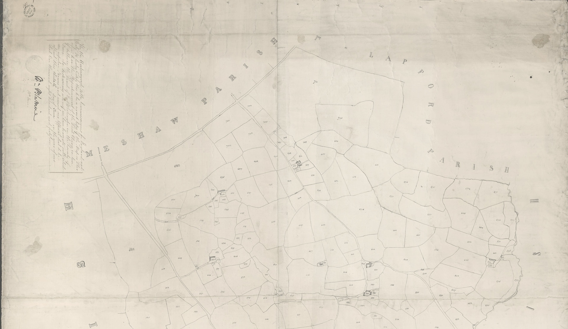
Below is part of an original, pen and ink drawn tithe map of East Worlington. Whilst the map is dated 1839 it was certified by the Tithe Commissioners for England in June 1841. The original scan and apportionment information can be viewed on the Devon County Council Tithe Maps page.
It is one of three in existence and currently held in the Heritage Centre (North Devon Records Office), in Barnstaple. One of the three existing tithe maps was found locally by a Worlington resident when clearing out their garage.
The scale of the map is 2 chains to 1 inch, which is approximates to a scale of 1600:1.
This page shows the first of six separate pages which together form the complete map. The remaining pages are accessed using the numbered links at the very bottom of the page below the social media icons.
You can also download the complete image of the East Worlington Tithe Map, but beware this is a large image.