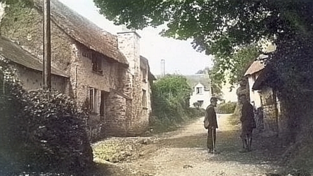
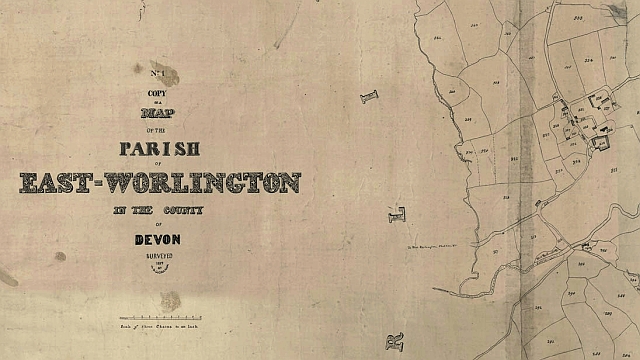
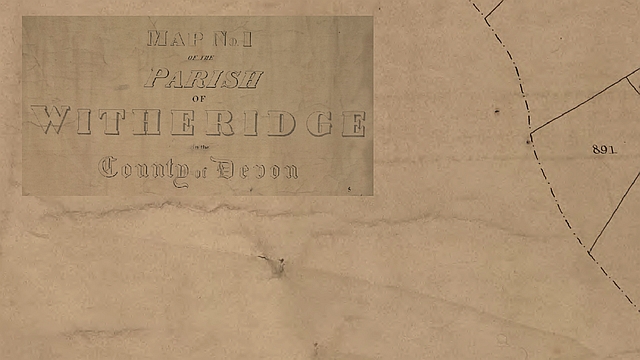
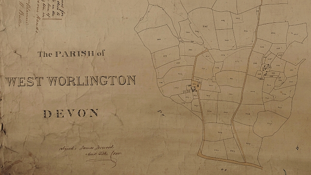
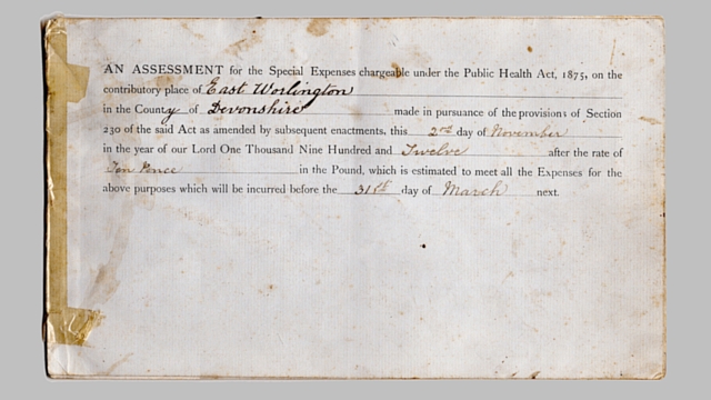
Like all communities we acquire various documents over time. Some documents manage to survive whilst others simpy disappear.
Below, we showcase some of the documents that have survived.
We are always on the lookout for interesting documents and If you something you think we may be interested in please use the Contact Form in the menu or send an email to history@ewph.uk.

Possible Etymology of Worlington
It seems likely Worlington is a name in three parts: Worl – ing – ton.
The ‘ing’ means “people of” and ‘ton’ is enclosure, estate or homestead.
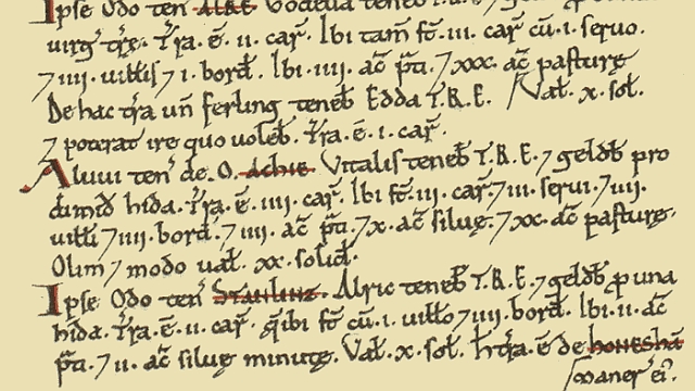
In the Domesday (1086) entry Worlington was held by the Saxon free-woman Ulvena, hence Uluvedington later possible corrupted to Worlington.
Alternatively ‘Worl’ is probably a shortened form of any one of the Old English personal names: Wilhere, Wulfred, Wulffrith or Werwulf.